找回密碼
 To register

QQ登錄

只需一步,快速開始

掃一掃,訪問(wèn)微社區(qū)

打印 上一主題 下一主題

Titlebook: Remote Sensing Application; Regional Perspective Tofael Ahamed Book 2022 The Editor(s) (if applicable) and The Author(s), under exclusive l

[復(fù)制鏈接]
查看: 7928|回復(fù): 54
樓主
發(fā)表于 2025-3-21 20:05:40 | 只看該作者 |倒序?yàn)g覽 |閱讀模式
書目名稱Remote Sensing Application
副標(biāo)題Regional Perspective
編輯Tofael Ahamed
視頻videohttp://file.papertrans.cn/827/826879/826879.mp4
概述Presents modeling approaches and detailed explanations that researchers can apply in their own work.Introduces machine learning and deep learning concepts to establish a big data analytical platform f
叢書名稱New Frontiers in Regional Science: Asian Perspectives
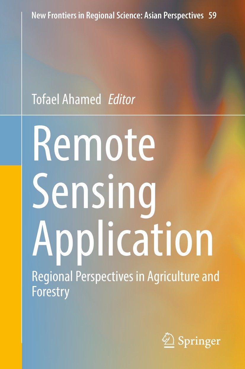
圖書封面Titlebook: Remote Sensing Application; Regional Perspective Tofael Ahamed Book 2022 The Editor(s) (if applicable) and The Author(s), under exclusive l
描述.This book focuses solely on the issues of agriculture and forest productivity analysis with advanced modeling approaches to bring solutions to food-insecure regions of South and Southeast Asia. Advanced modeling tools and their use in regional planning provide an outstanding opportunity to contribute toward food production and environments. In this book, leading-edge research methodologies related to remote sensing and geospatial variability of soil, water, and regional agricultural production indicators and their applications are introduced together—a unique feature of the book is the domain of regional policy perspectives and allied fields. In regional policy planning,?agriculture and forestry have a key role in food security and environmental conservation that depends on the geo-spatial variability of these factors. ?Over the years, nature and climate have determined the variability of soil type, soil quality, geographical deviation for habitat, water quality, water sources, urban influences, population growth, carbon stock levels, and water resources with rain-fed or irrigated land use practices.??In addition, human nutritional values and dietary habits have brought cultural a
出版日期Book 2022
關(guān)鍵詞Satellite Remote Sensing; Geographical Information; Regional Agricultural; Forestry Planning; Machine Le
版次1
doihttps://doi.org/10.1007/978-981-19-0213-0
isbn_softcover978-981-19-0215-4
isbn_ebook978-981-19-0213-0Series ISSN 2199-5974 Series E-ISSN 2199-5982
issn_series 2199-5974
copyrightThe Editor(s) (if applicable) and The Author(s), under exclusive license to Springer Nature Singapor
The information of publication is updating

書目名稱Remote Sensing Application影響因子(影響力)


書目名稱Remote Sensing Application影響因子(影響力)學(xué)科排名


書目名稱Remote Sensing Application網(wǎng)絡(luò)公開度


書目名稱Remote Sensing Application網(wǎng)絡(luò)公開度學(xué)科排名


書目名稱Remote Sensing Application被引頻次


書目名稱Remote Sensing Application被引頻次學(xué)科排名


書目名稱Remote Sensing Application年度引用


書目名稱Remote Sensing Application年度引用學(xué)科排名


書目名稱Remote Sensing Application讀者反饋


書目名稱Remote Sensing Application讀者反饋學(xué)科排名


單選投票, 共有 0 人參與投票
 

0票 0%

Perfect with Aesthetics


0票 0%

Better Implies Difficulty


0票 0%

Good and Satisfactory


0票 0%

Adverse Performance


0票 0%

Disdainful Garbage

您所在的用戶組沒(méi)有投票權(quán)限
沙發(fā)
發(fā)表于 2025-3-21 21:49:52 | 只看該作者
板凳
發(fā)表于 2025-3-22 03:57:18 | 只看該作者
地板
發(fā)表于 2025-3-22 07:20:53 | 只看該作者
5#
發(fā)表于 2025-3-22 11:44:33 | 只看該作者
Tofael AhamedPresents modeling approaches and detailed explanations that researchers can apply in their own work.Introduces machine learning and deep learning concepts to establish a big data analytical platform f
6#
發(fā)表于 2025-3-22 14:54:46 | 只看該作者
Book 2022nsecure regions of South and Southeast Asia. Advanced modeling tools and their use in regional planning provide an outstanding opportunity to contribute toward food production and environments. In this book, leading-edge research methodologies related to remote sensing and geospatial variability of
7#
發(fā)表于 2025-3-22 17:59:06 | 只看該作者
2199-5974 rning concepts to establish a big data analytical platform f.This book focuses solely on the issues of agriculture and forest productivity analysis with advanced modeling approaches to bring solutions to food-insecure regions of South and Southeast Asia. Advanced modeling tools and their use in regi
8#
發(fā)表于 2025-3-22 22:25:01 | 只看該作者
9#
發(fā)表于 2025-3-23 02:11:51 | 只看該作者
Calorie-Based Seasonal Multicrop Land Suitability Analysis Using GIS and Remote Sensing for Regionan countries. The purpose of this research is to develop a seasonal land use planning model incorporating diversified crops for regional self-sufficiency based on land suitability and a balanced calorie demand. A multicriteria decision-making analysis was undertaken, and multicrop land planning maps
10#
發(fā)表于 2025-3-23 05:45:15 | 只看該作者
Agricultural Land Suitability Assessment Using Satellite Remote Sensing-Derived Soil-Vegetation Indgricultural sectors. However, misinformed land selection decisions limit crop yields and increase production-related costs to farmers. Therefore, the purpose of this research was to develop a land suitability assessment system using satellite remote sensing-derived soil-vegetation indicators. A mult
 關(guān)于派博傳思  派博傳思旗下網(wǎng)站  友情鏈接
派博傳思介紹 公司地理位置 論文服務(wù)流程 影響因子官網(wǎng) 吾愛(ài)論文網(wǎng) 大講堂 北京大學(xué) Oxford Uni. Harvard Uni.
發(fā)展歷史沿革 期刊點(diǎn)評(píng) 投稿經(jīng)驗(yàn)總結(jié) SCIENCEGARD IMPACTFACTOR 派博系數(shù) 清華大學(xué) Yale Uni. Stanford Uni.
QQ|Archiver|手機(jī)版|小黑屋| 派博傳思國(guó)際 ( 京公網(wǎng)安備110108008328) GMT+8, 2025-10-11 08:24
Copyright © 2001-2015 派博傳思   京公網(wǎng)安備110108008328 版權(quán)所有 All rights reserved
快速回復(fù) 返回頂部 返回列表
府谷县| 固安县| 蒲江县| 元朗区| 绥化市| 河曲县| 凭祥市| 疏勒县| 尚义县| 平遥县| 石河子市| 河曲县| 天柱县| 黔江区| 东阳市| 嘉祥县| 巴林右旗| 呈贡县| 遂平县| 开远市| 永安市| 西华县| 聊城市| 鄱阳县| 行唐县| 扶绥县| 碌曲县| 唐河县| 晋城| 莒南县| 泽州县| 漯河市| 陇川县| 晋州市| 景德镇市| 新田县| 府谷县| 汉中市| 庄浪县| 墨玉县| 德钦县|